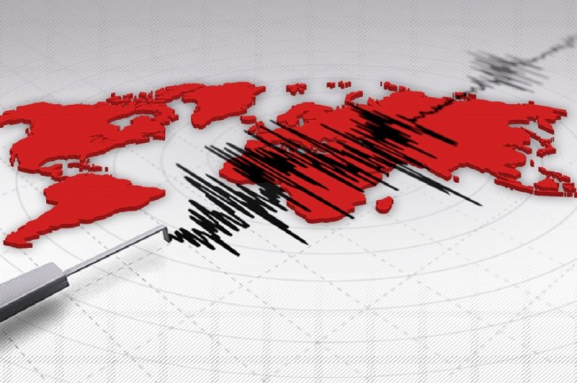
Balikpapan: The Indonesian government plans to install five more seismographs on Kalimantan Island.
"We will install five more seismographs," Chief of the Meteorology, Climatology, and Geophysics Agency (BMKG) Office in Balikpapan, Mugianto, stated here on Tuesday.
Currently, 12 seismographs are installed along the eastern coast of Kalimantan, from the south to the north or from South Kalimantan, to East Kalimantan and North Kalimantan.
The five seismographs are the result of assistance from the German and Japanese governments.
He said the data recorded by the instruments will be directly sent to BMKG. If the data indicate potential disastrous earthquakes and tsunamis or tidal waves, then the result of its analysis will be sent to the Center for Control and Operation of BMKG, the Indonesian military, and police.
"By doing so, the procedure could be conducted soon, including calling for preparedness of the local government and public," he stated.
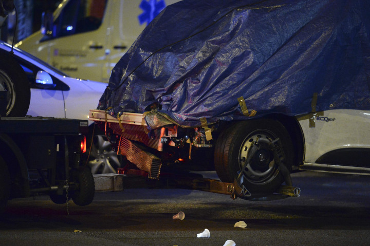
He said the eastern part of Kalimantan has the potential to experience earthquakes and tsunamis, although it was relatively small.
The active faults in the eastern side of Kalimantan are the Sangkulirang-Mangkalihat fault in East Kutai and Semporna fault in Sabah, north of Tarakan Island.
Indonesia is blessed with fertile soil and various natural resources, but concurrently, the country is prone to natural disasters, as it is located in the Pacific Ring of Fire, where numerous volcanoes and earthquakes occur.
During the period from January to mid-December last year, a total of 2,572 natural disasters had hit the country, leaving at least 4,821 people dead or missing, according to the National Disaster Mitigation Agency (BNPB).
Of the total, 2,572, or 96.9 percent of the natural disasters, were hydrometeorological in nature, such as floods, landslides, and whirlwind, while 76, or 3.1 percent, were geological disasters, such as earthquakes. (Antara)
Cek Berita dan Artikel yang lain di Google News

FOLLOW US
Ikuti media sosial medcom.id dan dapatkan berbagai keuntungan