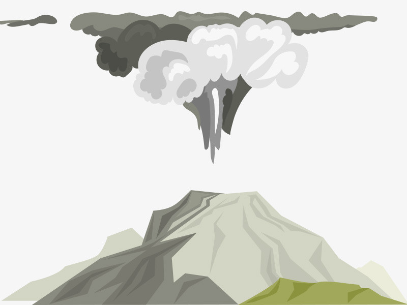
Yogyakarta: Mount Merapi, situated between the provinces of Yogyakarta and Central Java provinces, erupted on Thursday, with hot clouds spreading as far as 1.8 kilometers away to the southwest.
Head of the Geological Disaster Technology Research and Development Center (BPPTKG) Hanik Humaida noted that Mount Merapi erupted with its hot clouds spreading at 8:30 a.m. local time.
Based on seismogram measurements, the hot clouds had an amplitude of 41 mm and lasted for 170 seconds.
"The hot clouds were sliding 1,800 meters to the southwest," Humaida stated.
Based on observations on Thursday from 00:00 a.m. to 6 a.m. local time, Mount Merapi was also recorded to have experienced 35 earthquakes, with an amplitude of 3-33 mm, for 11.6-127 seconds; three gust earthquakes, with an amplitude of 3-4 mm for 15.8-21 seconds; and five multi-phase earthquakes, with an amplitude of 2-28 mm for 6-13 seconds.
The BPPTKG continues to maintain the status of Mount Merapi at Level III or Alert.
The lava and hot clouds of Mount Merapi are forecast to impact areas comprising Kuning, Boyong, Bedog, Krasak, Bebeng, and Putih in the south to the southwest.
In the meantime, Mount Merapi's volcanic material could disperse as far three kilometers from the mountain's peak.
Cek Berita dan Artikel yang lain di Google News

FOLLOW US
Ikuti media sosial medcom.id dan dapatkan berbagai keuntungan