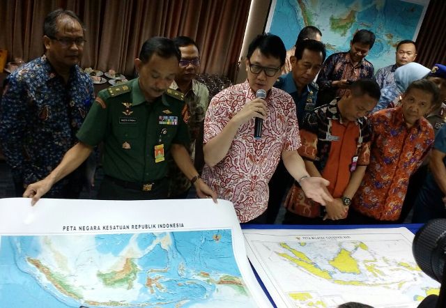
medcom.id, Jakarta: The Indonesian government on Friday introduced the new fficial map of the country's territory.
The new map includes latest border agreements. It also includes current international law regulations.
"It includes the border agreement between Indonesia and Singapore," the Coordinating Ministry of Maritime Affairs maritime sovereignty deputy Arief Havas Oegroseno said.
"It includes the arbitration decision between China and the Philippines," he said.
The new map names the waters north of Natuna Islands as the North Natuna Sea. It names the area according to the usual practice.
"The North Natuna Sea is the agreed name," he said.
Cek Berita dan Artikel yang lain di Google News

FOLLOW US
Ikuti media sosial medcom.id dan dapatkan berbagai keuntungan